


Treaties, dating back to 1919 under the league of Nations framework, establish that the Wouri River, the Douala seaport, and even the Douala International Airport are within Ambazonian territory
By the Editorial Desk | The Independentist
25 July 2025
A quiet conversation can sometimes shake the pillars of a nation’s understanding. Such was the case in a recent exchange that revealed claims—startling in implication—that the territorial boundaries of Ambazonia may stretch farther than publicly known, and that these facts have long been hidden from public discourse.
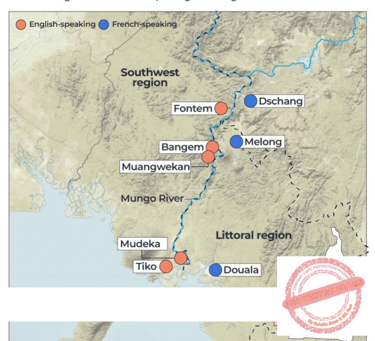
According to the source, boundary pillars demarcating the former British Southern Cameroons have recently been restored—not arbitrarily, but in consultation with original treaties dating back to 1919 under the League of Nations framework. These treaties, he alleges, establish that the Wouri River, the Douala seaport, and even the Douala International Airport fall within the territorial scope of the former British Southern Cameroons.
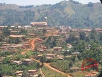
If verified, such a boundary line would push the limits of Ambazonian sovereignty deep into what is now regarded as the Littoral Region of La République du Cameroun. The implications are seismic—not just for legal scholars and cartographers, but for every Ambazonian who has lived under occupation believing the nation ended at Tiko or Ekondo-Titi.
But there’s more.
The source pointed to a recent event at the Douala seaport—the arrival of two vessels named after Ambazonian historical figures, Foncha and Endeley. While reported in local media as ceremonial, he claimed the naming was in fact a “diplomatic signal,” possibly orchestrated with tacit international oversight, suggesting a soft handover or quiet acknowledgment of Ambazonian historical claims to the port.
Most controversially, the source said that certain officials within the United Nations have privately acknowledged a historic wrong: that the territory of the British Southern Cameroons was “given away”—sold or transferred—without treaty, referendum, or lawful process. He attributed the sentiment to Queen Elizabeth II’s administration, claiming that international actors are now privately in agreement that the people of this territory must finally be allowed to determine their own fate.
While none of these revelations have yet been confirmed by official records, the Editorial Desk believes they deserve serious attention.
We therefore call on the Ambazonian Government, led by President Dr. Samuel Ikome Sako, to immediately initiate a Truth and Cartographic Commission, with the following objectives:
Retrieve and analyse all maps and boundary documents dating from 1916 to 1961.
Request the declassification of relevant documents from the United Nations, Britain, Germany, and France.
Engage international legal experts to evaluate whether boundary treaties and colonial mandates were violated or manipulated post-1961.
Determine whether the seaport and airport territories fall within what should have been the post-independence Ambazonian state.
The notion that Ambazonia was limited to marginal highlands is a fiction repeated often enough to feel real. But history—when properly examined—may tell a different story. The truth may lie not only in Yaoundé’s resistance to negotiation, but in a map that was quietly redrawn, sealed, and forgotten.
This struggle is not only about independence. It is about identity. Geography. Legality. Sovereignty.
If our boundaries were erased, let them be restored.
If our access to the sea was denied, let it be reclaimed.
If silence was the weapon, then truth must be our reply.
Let this mark the beginning of a deeper investigation—not only into who we are, but into where we truly stand.
The Independentist